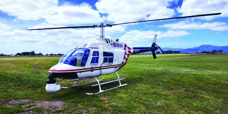
Firstlight Network will be using a low flying helicopter to survey its electricity network from early June.
A helicopter will be used to carry out a LiDAR (light detection and ranging) survey across Firstlight Network’s electricity footprint, work that will take about eight weeks to complete.
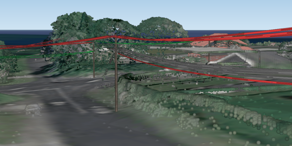
For LiDAR surveys, a sensor mounted on the bottom of a helicopter measures how long it takes a laser to travel to the ground and return to the sensor. It then uses the information to produce a 3D digital map of the electricity network (see example LiDAR image overleaf).
LiDAR technology allows electricity lines companies to accurately plot the location of power poles and lines, as well as monitor vegetation that has the potential to grow into lines.
“Please be assured that we are only focusing our imaging survey on our power lines and poles
“Thank you for your patience and understanding while this work is carried out,” Firstlight Network Operations Manager George Drysdale says.
Aethon Aerial Solutions will be carrying out the work on Firstlight Network’s behalf.
The helicopters will strictly follow Civil Aviation Authority regulations and will be flying above 300 metres (1,000 feet, almost the height of the Auckland Sky Tower) in both urban and rural areas.
In the event of bad weather, work will be rescheduled.
Low-flying helicopters can sometimes be unsettling, particularly for animals. To talk to one of the team about when the helicopter might be flying of your area, ring 0800 206 207.
Firstlight Network owns and operates the electricity distribution network that delivers power to homes and businesses across the Tairāwhiti and Wairoa regions.
Example of LiDAR imaging of power lines and pole.